OUR SERVICE
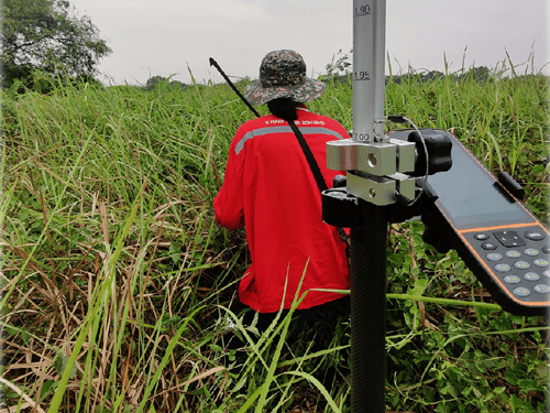
ENGINEERING & TOPOGRAPHIC SURVEY
i. Topographical Surveys provides detailed survey data consist of natural or artifical features and thus allows the client to use the information collected for the design and constructions or implementation stages.
ii. Demarcation Surveys the setting or marking of boundaries or limits of an area.
iii. As-Built Surveys verify the dimensions and other spatial perimeters of constructed features are according to the approved designs.
iv. Setting Out Survey is to stake out reference points and markers that will guide the construction of new structures such as roads or buildings etc.
v. Precise Levelling Survey is a particularly accurate method of differential levelling which uses highly accurate levels and with a more rigorous observing procedure than general engineering levelling. It aims to achieve high orders of accuracy such as 1mm per 1 km traverse.
vi. Deformation monitoring (also referred to as deformation survey) is the systematic measurement and tracking of the alteration in the shape or dimensions of an object as a result of stresses induced by applied loads.
vii. Profile Survey The process of determining the elevations of a series of points at measured intervals along a line such as the centreline of a proposed ditch or road or the centreline of a natural feature such as a stream bed.
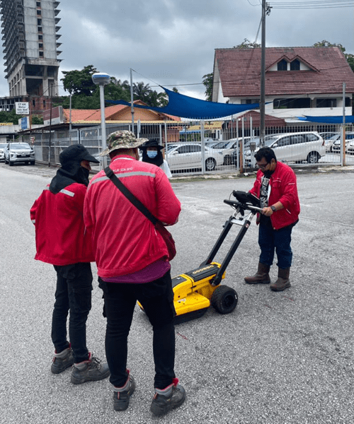
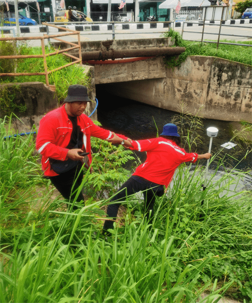
UNDERGROUND UTILITIES DETECTION & MAPPING
Underground utility mapping is a process of identifying the position and labelling public utility mains which are located underground. These mains may include lines for telecommunication, electricity distribution, natural gas, water mains and wastewater pipes.
In some location, major oil and pipe lines, national defence communication lines, mass transit, rail and road tunnels also compete for space underground.
Underground utility mapping refers to the detection, positioning and identification of buried pipes and cables beneath the ground. It deals with features mainly invisible to the naked eyes.
While the determination of position can be obtained with conventional or modern survey equipment, the detection and identification of underground utilities require special tools and techniques.
Principally, underground utility mapping is the combination or marriage between two major fields of knowledge namely; geophysics and geomatics.
CADASTRAL SURVEY
i. Land Title Surveys carried out to distinguish, map, and define property boundaries for the issuance of legal ownership titles.
ii. Strata Surveys are required when there are separate property ownerships for each unit for multi-level apartment block and horizontal subdivisions with shared areas administered by a Management Committee.
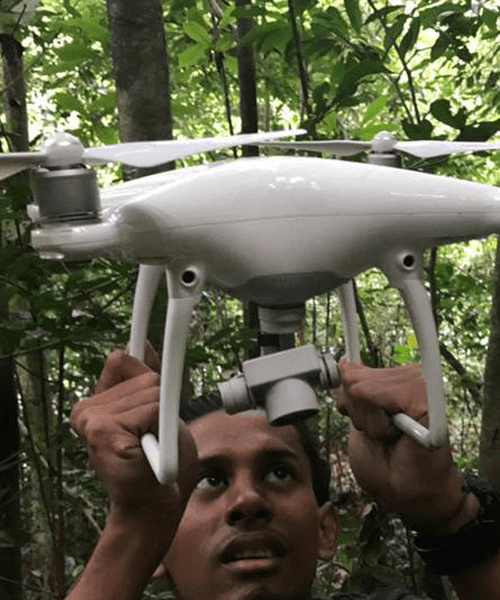
DRONE PHOTOGRAMMETRIC MAPPING
Drone photogrammetry refers to the process of taking photos from aircraft, satellites and other aircraft in the air, and combining the ground control point measurement, mapping and stereo mapping to draw the topographic map.
i. Aerial Photogrammetry Survey is a branch in which maps are professionally prepared from photographs taken by using an airplane or helicopter equipped with a metric camera utilized for geometric measurements.
ii. Unmanned Aerial Vehicle (UAV) Surveying and Mapping is the science of making measurements from photographs. Instruments manufactured for UAVs could be mounted on unmanned flying platforms of various sizes and types.
iii. Airborne Laser Profiling is a surveying method in order to obtain large scale maps of natural and man-made features on the earth without requiring close contact or in-situ observations. LiDAR is commonly used to make high-resolution maps and data that can be integrated with other data sources.
GIS & DIGITAL MAPPING
GIS technology combines database, mapping and statistical methods to integrate georeferenced data into visual displays where the relationships, patterns and trends in the data can be more easily identified.
This information system displays geographic information for assist in professional decision making.
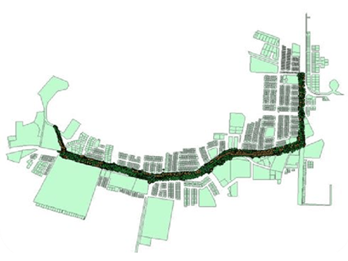
UAV LIDAR MAPPING
UAV LiDAR uses a pulsed laser to calculate an object’s variable distances from the earth surface.
These light pulses — put together with the information collected by the airborne system — generate accurate 3D information about the earth surface and the target object.
There are three primary components of a UAV LiDAR instrument — the scanner, laser and GPS receiver. Other elements that play a vital role in the data collection and analysis are the photodetector and optics.
Most government and private organizations use helicopters, drones and airplanes for acquiring UAV LiDAR data.
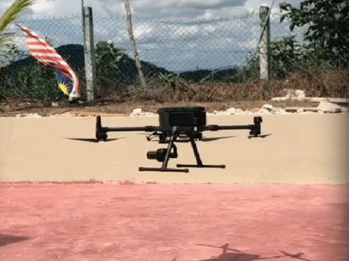
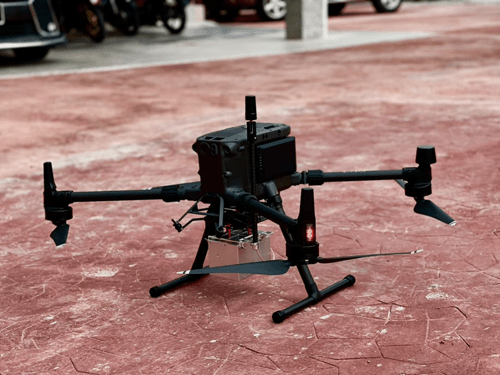
P1 PHOTOGRAMMETRIC
To complement the drone services team we have recently purchased the DJI Zenmuse P1 Full-frame Aerial Survey solution for our DJI Matrice 300 RTK.
The Zenmuse P1 integrates a full-frame sensor with interchangeable fixed-focus lenses on a 3-axis stabilized gimbal.
Designed for photogrammetry flight missions, it takes efficiency and accuracy to a whole new level for our clients.
This unit enhances drone UAV services providing a glimpse that the future is now as we continue to shape the forests of today with the technology of tomorrow.